
EXAMPLES OF USING REAS
With REA data and other resources now available on the Explore REA Data and BLM network, the BLM National Operations Center has worked with groups in several western states to help guide the use of REAs to help answer land and resource management questions beyond those specified in the REAs. See the examples below.
Sagebrush Biome Investigation using the Sagebrush Management Resilience and Resistance Tool (SMRRT) | 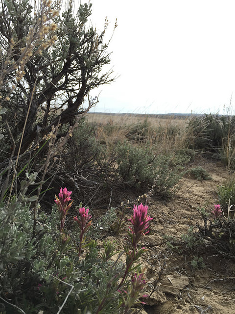 |
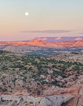
Multiscale Data Uses and Tool Integration in the Escalante Watershed, UT (2016-7)
| 
|
Attempting to Answer Multiple Management Questions Northern California (NorCal) (2016)
| 
|
Centennial Watershed Assessment, Dillon Field Office, MT (2015)The Centennial Watershed Assessment used data from the Middle Rockies (MIR) REA to understand how the watershed fits into the context of the surrounding areas...More | 
|
Grand Staircase Escalante National Monument, UT (2015)This analysis investigates the regional context of GSENM, aquatic and terrestrial intactness, connectivity, climate change predictions, distributions of biological soil crust, and productivity estimates. To learn more about the analysis and use of REA data in the GSENM Management Plan Amendment see the GSENM story map. The analysis is summarized in the "Island of Green" presentation. | 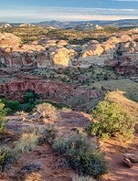
|
Northern Great Basin Workshop Example - Energy Development (2015)When locating wind turbines, it is necessary to consider Golden Eagle habitat. This is easy to do using GIS....More | 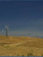
|
San Luis Valley - Taos Plateau Landscape Assessment (2017)The San Luis Valley - Taos Plateau Landscape Assessment was developed using Rapid Ecoregional Assessment methods and generally includes more information about cultural and socioeconomic values than the traditional REAs. The Landscape Assessment is a precursor to the Solar Regional Mitigation Strategy and provides information, maps, and tools to help inform the strategy. The SLV-TP Landscape Assessment will be released in Summer 2017 on the Landscape Approach Data Portal and more information about the process can be found on the BLM solar energy page | 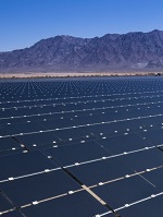
|
Northwest Plains Habitat Selection
| 
|