
USING REAS - NORTHWESTERN PLAINS
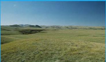
The Northwestern Plains (NWP) REA stretches across vast expanses of Montana, Wyoming, the Dakotas, and Nebraska. It covers the Northwestern Great Plains and the Northwestern Glaciated Plains ecoregions, an area of about 206,000 square miles and all or part of 13 BLM Field Offices.
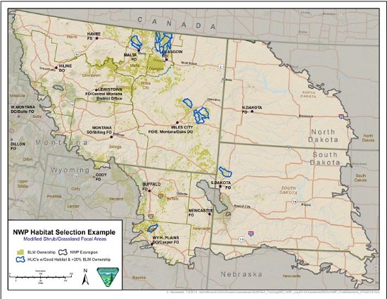
Below is an example of using NWP REA data to determine focal areas for treatment (see map below). This is a simple 2 step GIS exercise:
1) Select sub-watersheds (HUC12s) containing any grass and shrub communities
2) From the sub-watersheds (HUC12s) selected in step (1), select the sub-watersheds containing more than 20% BLM land.
For more information on using NWP REA data and more details on the process above, see the training presentation: Appropriate Use of Data from the 2014 MIR/NWP REA workshop