
Programs
Rapid Ecoregional Assessments
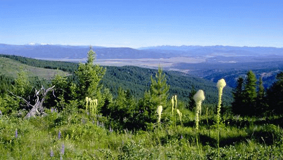
Widespread environmental influences, such as invasive species, wildfire, and development, affect ecoregions that are managed, in part, by the BLM. In response, the BLM launched 14 rapid ecoregional assessments (REAs) since 2010 to improve the understanding of the existing condition of these ecoregions and how conditions may be altered by ongoing environmental changes and land use demands.
REAs do not allocate resource uses or make management decisions. They provide science-based information and tools for land managers and stakeholders to consider in subsequent resource planning and decisionmaking processes. REAs examine ecological values, conditions, and trends within large, connected areas that have similar environmental characteristics in order to capitalize on efficiency of scale. REAs provide context in support of the site-specific data and knowledge required to make site-specific decisions and conduct analyses for resource management plans and National Environmental Policy Act processes.
Benefits of REAs
REAs look across an ecoregion to help the BLM more fully understand ecological conditions and trends, natural and human influences, and opportunities for resource conservation, restoration, and development. Through REAs, the BLM seeks to identify important resource values and patterns of environmental change that may not be evident when managing smaller, local land areas. The REAs provide regional information that inform and benefit local management efforts.
REAs describe and map conservation elements, which are areas of high ecological value. REAs look across all lands in an ecoregion to identify regionally important habitats for fish, wildlife, and species of concern. REAs then gauge the potential of these habitats to be affected by four overarching environmental change agents: climate change, wildfires, invasive species, and development (both energy development and urban growth). Additional change agents may also be addressed based on ecoregional needs.
REAs also help identify areas that do not provide essential habitat, areas that are not ecologically intact or readily restorable, and areas where development activities may be directed to minimize impacts to important ecosystem values.
In addition, REAs establish baseline ecological data to gauge the effect and effectiveness of future management actions. In this way, REAs provide a foundation for an adaptive management approach that enables implementation strategies to adjust to new information and changing conditions.
In summary, REAs:
- Identify and answer important management questions.
- Document key resource values, which are referred to as conservation elements, with a focus on regionally significant terrestrial habitats, aquatic habitats, and species of concern.
- Describe influences from four environmental change agents: climate change, wildfire, invasive species, and development.
- Assess the collective effects of projected trends.
- Identify and map key opportunities for resource conservation, restoration, and development.
- Identify science gaps and data needs.
- Provide a baseline to evaluate and guide future management actions.
The Application of REAs
The BLM uses REAs to inform resource management at the ecoregional and local levels. At the ecoregional level, along with input from stakeholders, partner agencies, and tribes, the REAs aid in developing broad-level management strategies for an ecoregion’s public lands. This ecoregional direction identifies priority areas for conservation and development, including key areas for conserving wildlife habitats and migration corridors and key areas for potential energy development and urban growth. Ecoregional direction also provides a blueprint for coordinating and implementing these priorities through the BLM’s state and field offices.
At the local level, REAs enhance the quality of land use planning and environmental analysis conducted by BLM field offices. The information, maps, and tools provided by the REAs strengthen analyses of the potential and cumulative effects of climate change and other environmental disturbances on important ecological values.
In addition, REAs present an opportunity for all land managers within an ecoregion to share information and discuss resource management conditions and needs. REAs provide a science-based information platform for formulating coordinated, multiagency strategies that can respond effectively to environmental challenges that transcend local administrative boundaries.
REA Preparation
REAs begin as a list of management questions from an ecoregion’s resource managers. The questions identify management issues or concerns that cannot be resolved by individual offices alone and have regional importance. For example, management questions for sage-grouse, a wildlife species of concern in several ecoregions, could include:
- What is the current distribution of occupied habitat and movement corridors for sage-grouse within this ecoregion?
- What change agents are affecting this habitat and movement corridors?
- Where are sage-grouse populations at risk?
- Where are potential habitat restoration areas?
An REA is designed to answer these and similar management questions regarding an ecoregion’s key resource values and change agents.
REAs are prepared in two phases. The first phase is the preassessment, which refines the management questions and identifies the data available for analysis. The second phase is the assessment, which conducts the analysis and prepares the assessment report, maps, and supporting documents.
The phases of the REA are organized into the following seven tasks:
| Phase | Task # | Product |
|---|---|---|
| Preassessment | 1 | Refine management questions |
| 2 | Identify and recommend datasets for analysis | |
| 3 | Identify and recommend analytical models and tools | |
| 4 | Prepare REA work plan | |
| Assessment | 5 | Synthesize datasets |
| 6 | Conduct analysis and generate findings | |
| 7 | Prepare REA report, maps, and supporting documents |
An assessment management team composed of federal and state managers and technical specialists from within the ecoregion oversees each REA. The assessment management team guides the assessment and oversees the work of the contractors who perform the technical data management and analysis tasks required by the REA. The BLM hires contractors with special expertise in natural resource assessment and conservation planning.
Access
The need for 15 REAs and 2 landscape assessments (similar to REAs), were identified for the Western United States and Alaska. Thirteen of these have been completed; the others are in progress. REA memos and documents are available on the Assessments page. Data products, such as maps, are available on the BLM’s Explore REA Data.