
Using REAs- ESCALANTE WATERSHED PROJECT
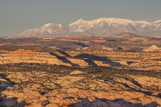
The Colorado Plateau 2014 REA (COP2014) step down project provides integrated and cross-jurisdictional data at the sub-watershed level that can be used to identify critical resources under threat, to characterize aquatic and terrestrial resource integrity, and to prioritize development. REA products can provide a perspective on the relative conditions of resources and the surrounding context.
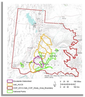
The Escalante Watershed Project is a collaborative, multi-scale, integrated approach to help improve the usefulness and accessibility of the COP2014 REA step-down products. Collaborators with the BLM Escalante Field Office include the BLM Utah State Office, Utah State University, Escalante River Watershed Partnership, and the BLM National Operations Center.
Phase 1 of the Project used landscape scale data to identify important stressors on and threats to aquatic and terrestrial intactness and to analyze the context of the Escalante Watershed within the surrounding landscape to determine how the data could inform management decisions (see presentations below). Intactness is a quantifiable estimate of naturalness measured on a gradient of anthropogenic influence. These presentations of these analyses are available on this website.
AIM data, comprised of chemical, physical, and biological field measurements, was used to empirically validate the REA aquatic intactness model in a site-by-site comparison of ranking to determine uncertainty. In Phase 2 of the project, the team will develop a set of products and tools, based on the analyses, to aid in local management decisions.
This project is ongoing (2017) and this page will eventually link to the end products - the project website including report and story maps.
Current presentations using COP_2014 data:
- Identifying stressors in the aquatic and terrestrial intactness models
- Quantifying the Context of Escalante Watershed compared to other 6th level watersheds (HUC12s), six nearby National Parks and a National Recreation Area
- Exposing the bare bones of Intactness Models in COP/UT 2014 REA: Assumptions, Uncertainty, and Sensitivity Analyses