
Using REAs - CENTENNIAL WATERSHED ASSESSMENT
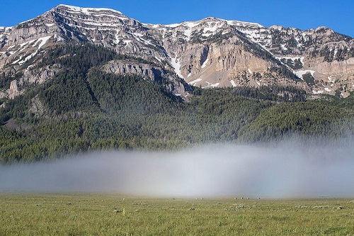
Purpose: The Centennial Watershed Assessment and Environmental Assessment (Dillon Field Office, 2015) both used REA data from the Middle Rockies (MIR REA) to understand how the watershed fits into the context of the surrounding areas for issues such as forest health, conifer expansion, wildlife distribution and status, effects of fire suppression, and connectivity.
This information can be used to understand the contribution of Centennial watershed to regional values as well as the status of regional resources within the context area. This is useful to determine management priorities and how factors contribute to meeting or not meeting standards.
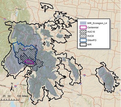
Determining geographic boundaries for a context analysis is an important step. Boundaries can be geopolitical such as State or Field office boundaries; physiographic such as watersheds (or hydrologic units) or rivers; or ecological such as Omernik's or Bailey's ecoregions. For an outer boundary, REAs frequently used a level 3 ecoregion from Omernik's hierarchy surrounded by HUC 10s. (Centennial Overview Maps)