
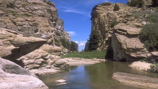
The Wyoming Basin (WYB) REA has been completed and peer reviewed and is now available to the public. The Memos and Reports section provides access to the REA products for this ecoregion.
The Wyoming Basin Ecoregion encompasses over 33,000,000 acres in five states, Wyoming, Colorado, Utah, Idaho and Montana. Approximately 54 percent of this acreage is sagebrush steppe. This ecoregion contains many important wildlife and vegetative habitats and populations. Among them are: the greater sage grouse, large, intact sagebrush steppe habitat, mule deer, the range margin populations of whitebark pine and portions of the headwaters of the Colorado, Platte, Missouri and Snake Rivers. It is also the location of some of the largest natural gas deposits found on public lands in the continental United States and important potential wind energy sites.

The management questions were finalized in August of 2012.
-
Invasive Non-native Species
-
Terrestrial and aquatic biotic resources
-
Landscape Species
-
Species of special concern
-
Riparian vegetative communities
-
Relatively large intact areas
-
Areas of development - industrial/agricultural/urban
-
Potential changes in vegetative "biome" composition/distribution
Conservation elements are resources of conservation concern within an ecoregion. This REA will assess the current status and forecast the future condition of these conservation elements:
Large scale, "Coarse-filter", ecological systems, which represent characteristic vegetation assemblages or "biomes"occurring within the ecoregion (e.g. sagebrush, evergreen forest);
Smaller, terrestrial and aquatic species specific, “fine-filters, which represent specific management questions of interest to the BLM managers (e.g. golden eagle, 5 needle pine);
A full list and description of conservation elements will be included in the Work Plan document.
Change agents are disturbances on the landscape that can influence ecosystem health. They can have natural causes, such as wildfire; human causes, such as energy development; or result from the interaction of both, such as climate change. A key purpose of this REA is to understand the influences of significant, widespread change agents on the natural resources (represented by the conservation elements discussed above) of the Wyoming Basin.
This REA will examine the potential effects of the following change agents. A more complete discussion of change agents is presented in the Task 1 Final Memorandum.
Change Agents to Be Addressed in the Wyoming Basin REA:
-
Climate Change
-
Development: Industrial, Urban, and Agricultural
-
Invasive Species: Terrestrial and Aquatic
-
Insect Outbreak and Diseases
-
Wildland Fire
Geospatial data, maps, and models used in and produced by the Wyoming Basin REA are now available on the Landscape Approach Data Portal.
For this REA, there will be two peer reviewed, published documents: 1- the Work Plan and 2- the final report containing the data analyses and findings. As memos and the reports are completed, they can be downloaded through the table below.
Wyoming Basin (WYB) REA Memos and Reports
| Description | Document Link |
|---|---|
Management questions, conservation elements, and change agents |
Interim Report Completed |
Analytical models and tools |
Interim Report Completed |
REA work plan |
WYB USGS Work Plan |
Wyoming Basin REA Brochure |
USGS Brochure |
REA report, maps, and supporting documents |
WYB Final Report |