
LANDSCAPE ASSESSMENTS
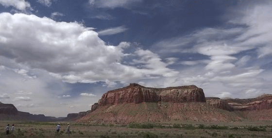
The BLM conducted a variety of landscape assessments across the U.S. to provide the agency and its partners with landscape-scale information that can help guide land management decisions. These assessments are similar to and sometimes based upon the BLM’s rapid ecoregional assessments (REAs), but they vary in their intended purpose, size, and scope. These landscape assessments and REAs are all part of the BLM’s landscape approach.
Colorado Plateau REA Downscale and Utah Landscape and Watershed Assessment
The Colorado Plateau REA Downscale and Utah Landscape and Watershed Assessment are complete, peer reviewed, and available to the public. The BLM and Utah Division of Wildlife Resources worked together with and contracted the Conservation Biology Institiute to develop decision support models to inform current conservation initiatives in Utah and throughout the Colorado Plateau ecoregion. This work was based on previous REA work. This effort updated the existing terrestrial landscape and aquatic intactness models for the Colorado Plateau ecoregion and updated habitat profiles for a number of identified conservation elements of interest (largely native species and communities). Existing models were extended to cover the entire State of Utah and fine-tuned to be more effective at answering different management questions over smaller geographic areas. The terrestrial intactness model for the Colorado Plateau was updated and downscaled to the 1 km x 1 km resolution, and profiles were rerun for all of the existing conservation elements of interest. The 1-km resolution intactness was expanded to the entire State of Utah.
The aquatic intactness model was updated using new data inputs at the HUC6 (12-Digit NHD Hydrologic Unit Code) resolution. These data inputs estimate the extent to which human impacts have disrupted the hydrology, water quality, and habitat quality of aquatic systems throughout the Colorado Plateau ecoregion and the entire State of Utah. Aquatic species habitat intactness overlays were created that spatially identify habitat condition within a species' estimated distribution, modeled at the subwatershed (HUC6) scale. Species distributions were estimated based on observation points and rivers and streams extracted from the National Hydrography Dataset. Condition estimates are not species-specific, and local data on species' distributions and habitat requirements (beyond those captured in this model) should be considered before making management decisions.
A previously created climate stress logic model was also updated with the most recent climate data from the 5th Intergovernmental Panel on Climate Change report. Some new analyses were also carried out (e.g., mapping potential climate refugia—areas where plants and animals may find shelter from changes in climatic conditions). Past and future climate variability was examined to model climate velocity, which is the speed along the Earth’s surface needed to maintain constant climate conditions with the rationale being that species survival may depend as much on keeping pace with moving climate as the climate’s ultimate persistence. Results of the climate modeling illustrate at the landscape level the degree to which locations in the landscape will be impacted by climate stress over the next century and help estimate the likelihood that certain species will survive shifting suitable habitat conditions.
San Luis Valley
The San Luis Valley-Taos Plateau Level IV Ecoregion Landscape Assessment was developed following the methodology of existing BLM REAs. This assessment was conducted to document the current status of conservation elements at an ecoregional scale and evaluate the trends and vulnerability of these resources to change agents over time. The primary objective of this landscape assessment is to inform landscape-based mitigation strategies for solar energy development in Colorado within the solar energy zone priority areas. Management questions and conservation elements selected for this landscape assessment were developed to inform regional mitigation planning for solar development that is ongoing through a concurrent solar regional mitigation strategy development process.